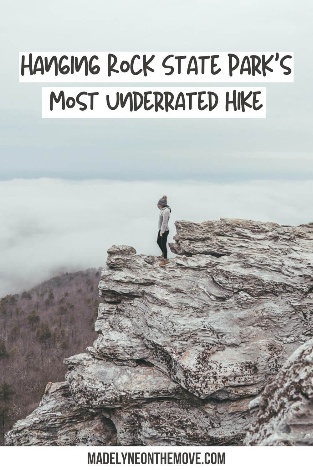
Hiking Guide: Moore’s Wall Loop Trail in Hanging Rock State Park
Hanging Rock State Park is one of my favorite destinations for a day trip from the triad (Winston-Salem, Greensboro, and High Point). While I frequently make the trip out to western NC, sometimes it’s nice to hike closer to home! Hanging Rock State Park is less than an hour from the triad and roughly two hours from both Charlotte and Raleigh.
I have been going to Hanging Rock State Park for years now. I started by hiking some of the more heavily trafficked trails like the Hanging Rock Trail. When I go now, I seek out some of the lesser-known hikes like the one I’ll be sharing in this blog post: Moore’s Wall Loop Trail.
Moore’s Wall Loop Trail is the perfect day hike if you’re looking for something with less foot traffic than the Hanging Rock Trail. It’s a bit of a burner, but it’s worth it to get 360-degree views from the observation tower once you reach the top.
Disclaimer: This blog contains affiliate links which means I earn a small percentage of every purchase at no cost to you. I appreciate your support!
Hiking the Moore’s Wall Loop Trail in Hanging Rock State Park
If you’ve done the Hanging Rock Trail, the Moore’s Wall Loop Trail isn’t too different in terms of difficulty, but it’s nearly twice as long (4.3 miles compared to 2.4 miles). I recommend allotting 2-3 hours for this particular hike.
Don’t forget to pack some hiking essentials and make sure to follow the principles of Leave No Trace on your adventure!
Hanging Rock State Park Map
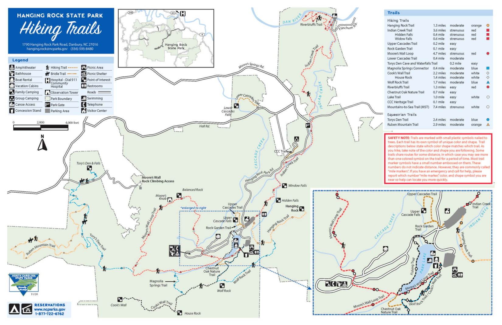
As you can see from this map, the Hanging Rock trail system is pretty impressive! The state park offers over 20 miles of diverse hiking trails ranging from mountain views to waterfalls. The park is open from 7AM-7PM seven days a week.
My favorite thing about the trail system at Hanging Rock is how easy it is to connect trails within the park to tack on some extra mileage. I use AllTrails to find these routes and other lesser-known hikes at Hanging Rock!
Parking
Moore’s Wall Loop Trail address: 2847 Hanging Rock Park Road, Walnut Cove, NC 27052 (Get directions)
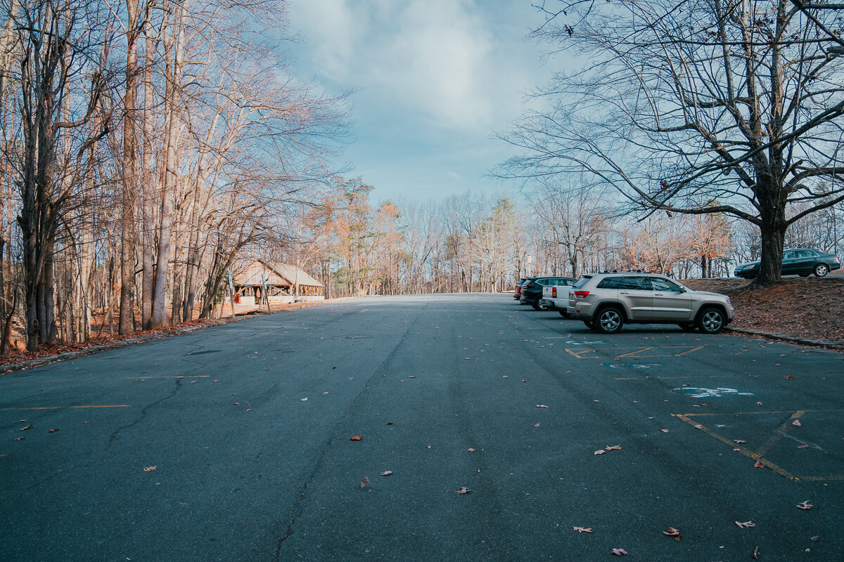
The parking lot by Hanging Rock Park Lake is the most convenient place to park for this trail. It’s very easy to find — just drive Hanging Rock Park Road all the way to the end. You’ll drive past the Visitor’s Center parking lot and end here right after you pass the lake on your right.
This parking lot is huge, so I wouldn’t expect parking to be too much of an issue (especially in the cooler months or on a weekday). However, the lots do fill up on nice weekends. If needed, you could find a spot at the Visitor’s Center and walk down past the lake to get to the trailhead. FYI – The Visitor’s Center is currently closed for renovations.
[mailerlite_form form_id=2]
Moore’s Wall Loop Trail Details
Quick Overview
- Difficulty: Moderate
- Length: 4.3mi loop
- Elevation gain: 954ft
- Time: 2-3 hours
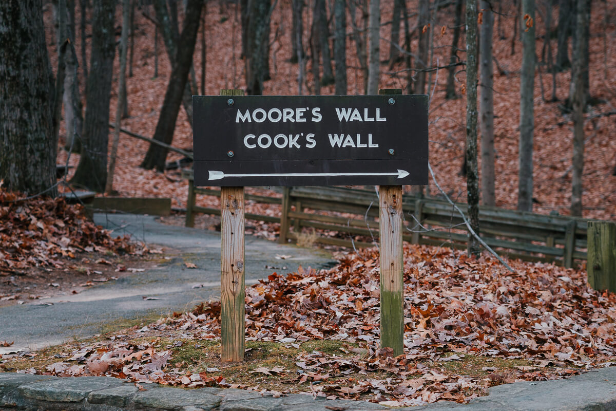
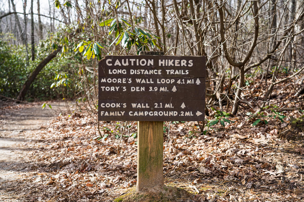
If you’re facing the lake, the first sign (shown above) pointing you towards Moore’s Wall is located in the far left corner of the parking area. Follow the path towards the historic bath house, which looks like a shelter and does have public restrooms. After a minute or so, you’ll come up on a large sign that tells you to turn left for Moore’s Wall Loop.
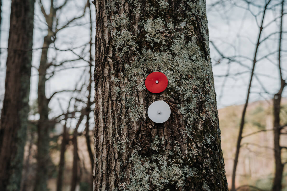
While the trail is very well-marked, it does get a bit confusing in some areas (particularly around the campground). Watch out for the red, circular trail markers throughout the hike to ensure you’re on the right path.
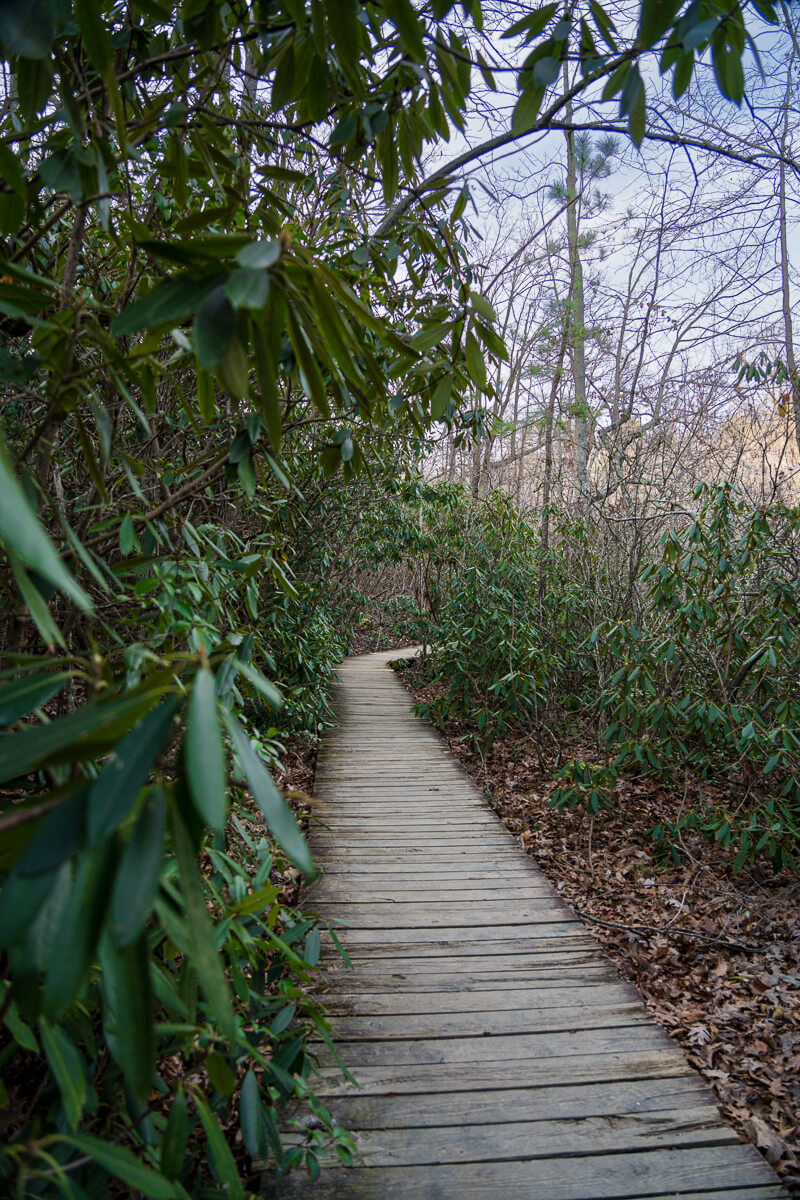
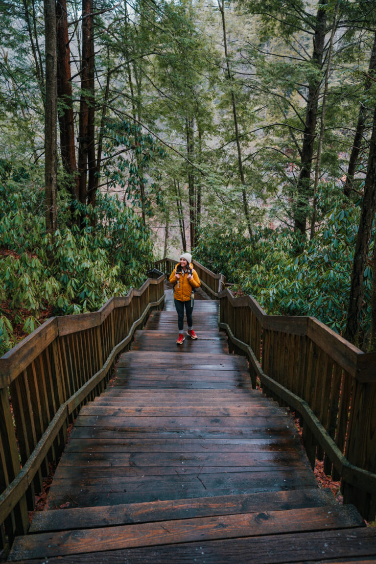
Your hike will begin as a leisurely stroll along Hanging Rock Park Lake. This easygoing stroll by the lake only lasts for about 10 minutes or so, though. It won’t be long before this hike makes you work up a sweat!
Shortly after crossing the footbridge, you’ll come across the sign shown above and have two options: turn left (clockwise) or right (counterclockwise). You can go either way since it’s a loop.
I went right, so this blog post is from the counterclockwise point of view. This route is a bit more challenging since you hit the stairs hard from the get-go. Hike the trail clockwise if you want your ascent to be more gradual!
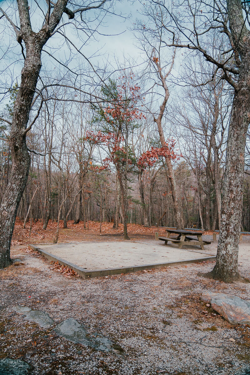
After conquering the first set of stairs, you’ll pass through the Hanging Rock State Park Campground.
This is where it’s especially important to pay attention to the red, circular trail markers. You have to cross the road to get to the next portion of the trail, so lookout for the trail markers on the pavement! You should see an amphitheater to your left shortly after hopping on the trail across the road.
Also Read: 25 Stunning Waterfalls in North Carolina
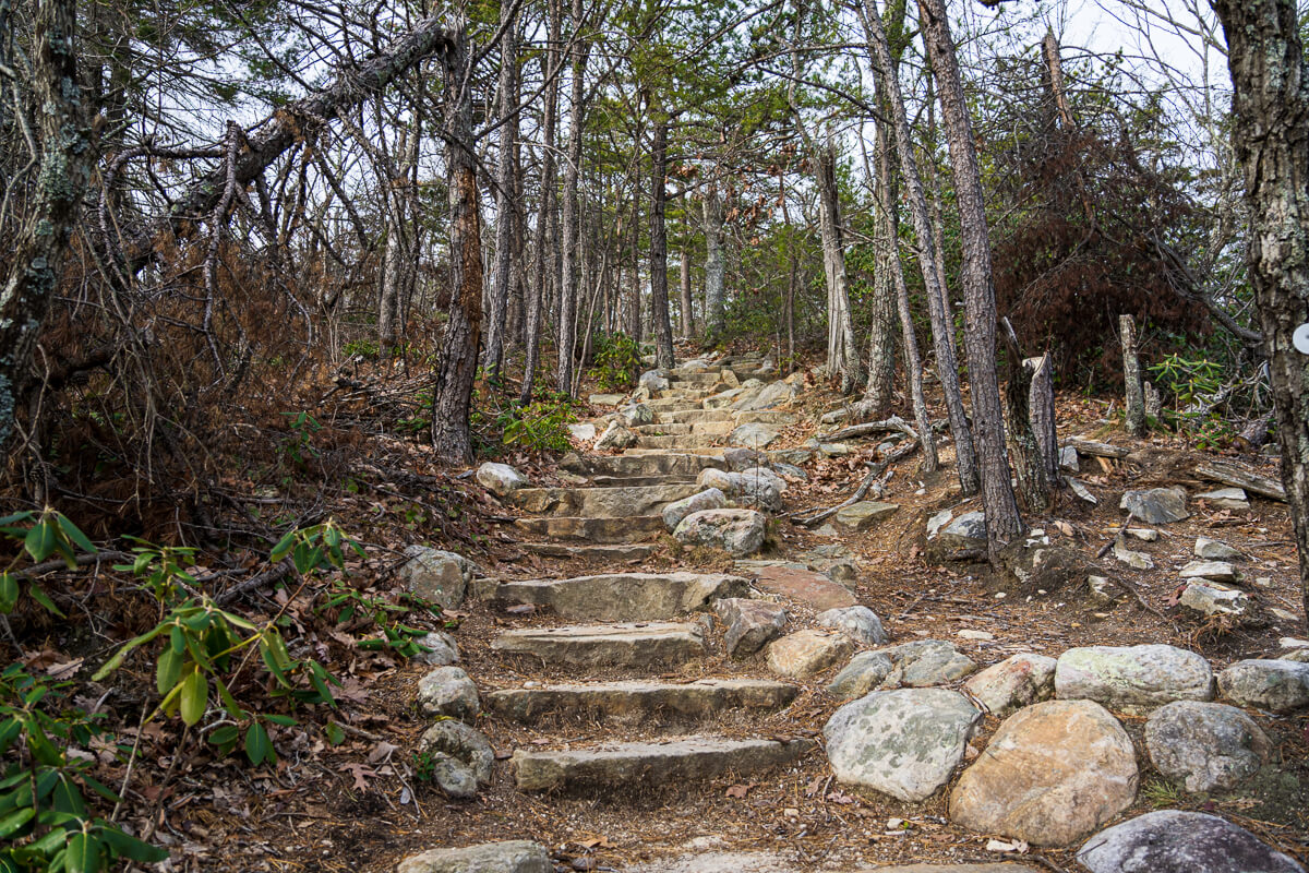
You’ll cross a small creek and then it’s time for (A LOT) more stairs! Expect to climb for about 30-45 minutes. Thankfully, it’s a beautiful hike, so I felt like it went by pretty fast. Don’t forget to take breaks as needed and drink lots of water.
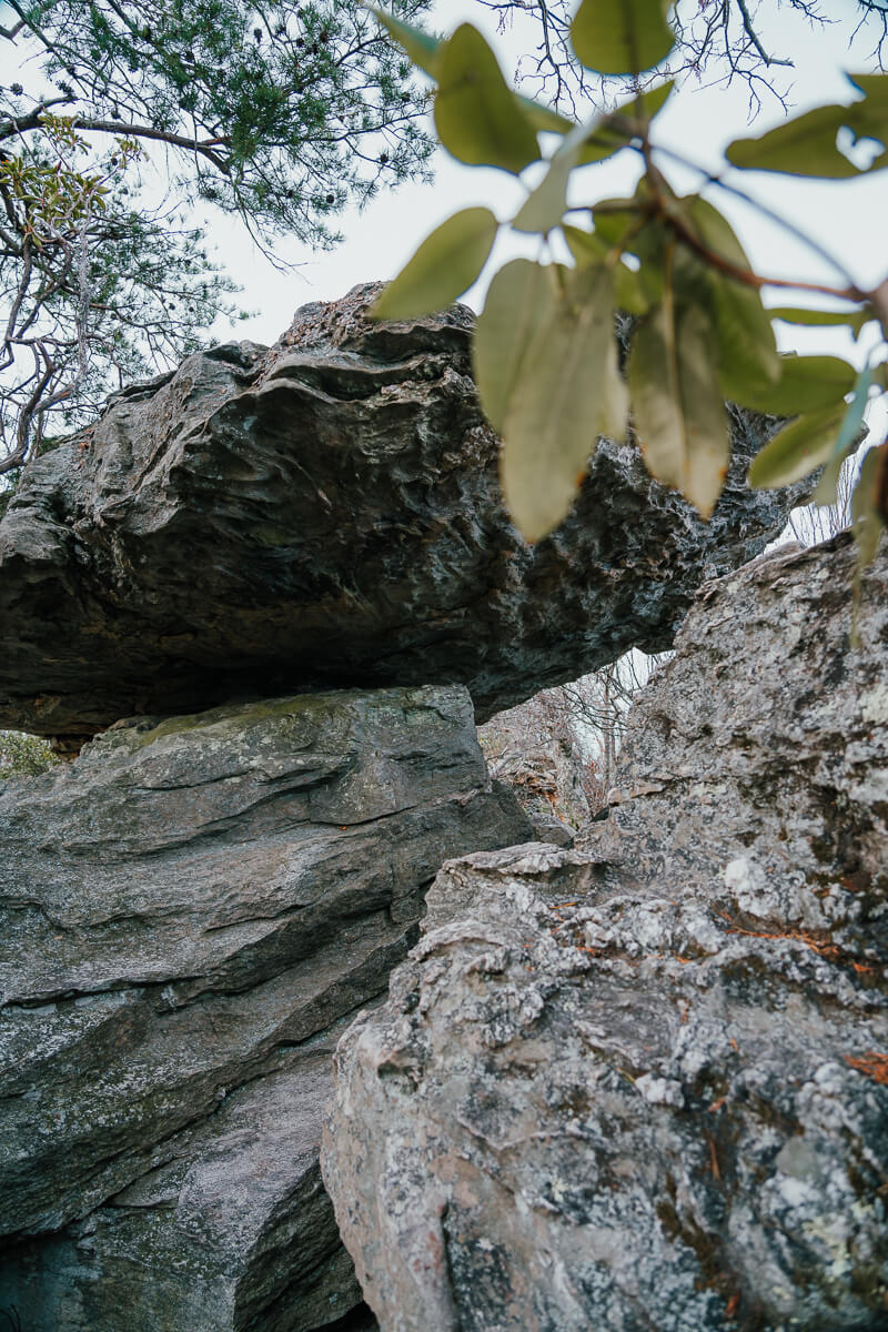
Side view of Balanced Rock 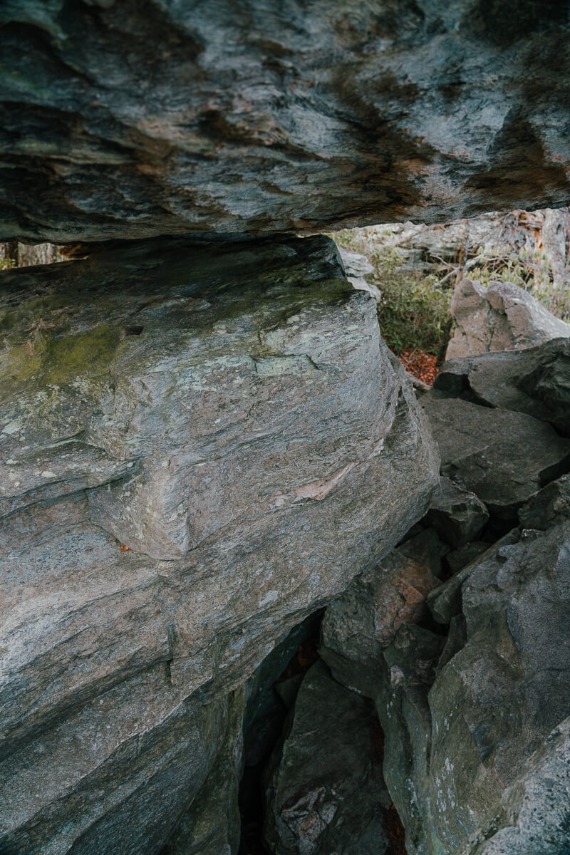
View from below Balanced Rock
When you see the sign for the Lookout Tower on your left and Balanced Rock shortly after on your right, you’re almost there! Take the short trail on the right to see Balanced Rock, which is an interesting rock formation. You can rest here for a few minutes before making your way to the top!
Also Read: Beacon Heights Trail on the Blue Ridge Parkway
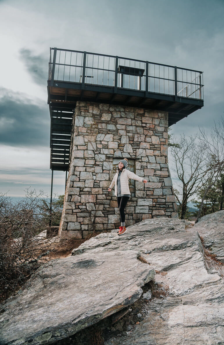
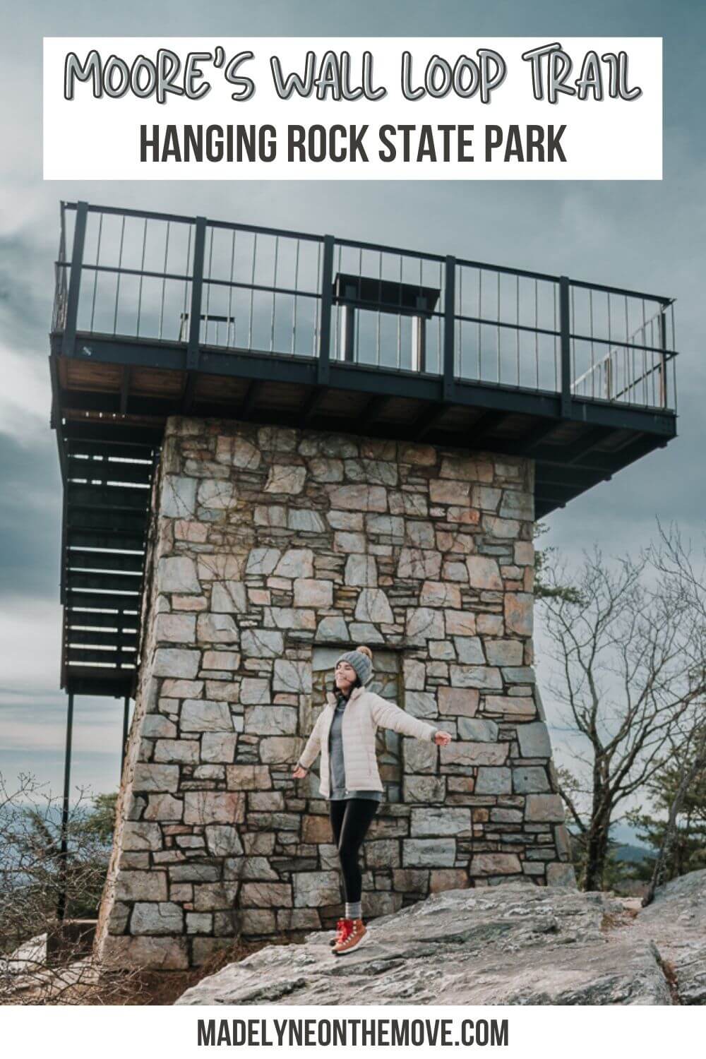
Lookout Tower 
South-facing view
After viewing Balanced Rock, get back on the Moore’s Wall Loop Trail. You’ll come out of the woods within minutes and be able to see the lookout tower. The climb is worth it, because you get the most incredible 360-degree views from the tower! I love that the tower has signs for each direction that show noteworthy peaks/cities.
The hike back down wasn’t bad at all! It’s somewhat steep at times, but nothing too crazy. Nonetheless, I do think trekking poles would come in handy on this hike. Just as on the way up, watch out for the red trail markers on the way down!
Overall, I loved this hike and would love to go back for sunrise or sunset!
Other Hikes in Hanging Rock State Park
As you saw on the map, there are numerous trails at Hanging Rock State Park! Usually, I’ll combine a hike with mountain views with a waterfall hike to get the best of both worlds in a single day. There’s a variety to choose from at all difficulty levels, which is a definite plus!
Hanging Rock Overlook Trail

- Difficulty: Moderate
- Length: 2.4mi out & back
- Elevation gain: 603ft
I love the Hanging Rock Trail and have had it entirely to myself plenty of times, even though it’s usually heavily trafficked. It’s my favorite place to catch a sunrise at Hanging Rock. I highly recommend going on a weekday if you can swing it. If not, go early and you should still be able to miss any big crowds!
Hidden Falls and Window Falls via Indian Creek Trail Hanging Rock
- Difficulty: Moderate
- Length: 1.2mi out & back
- Elevation gain: 288ft
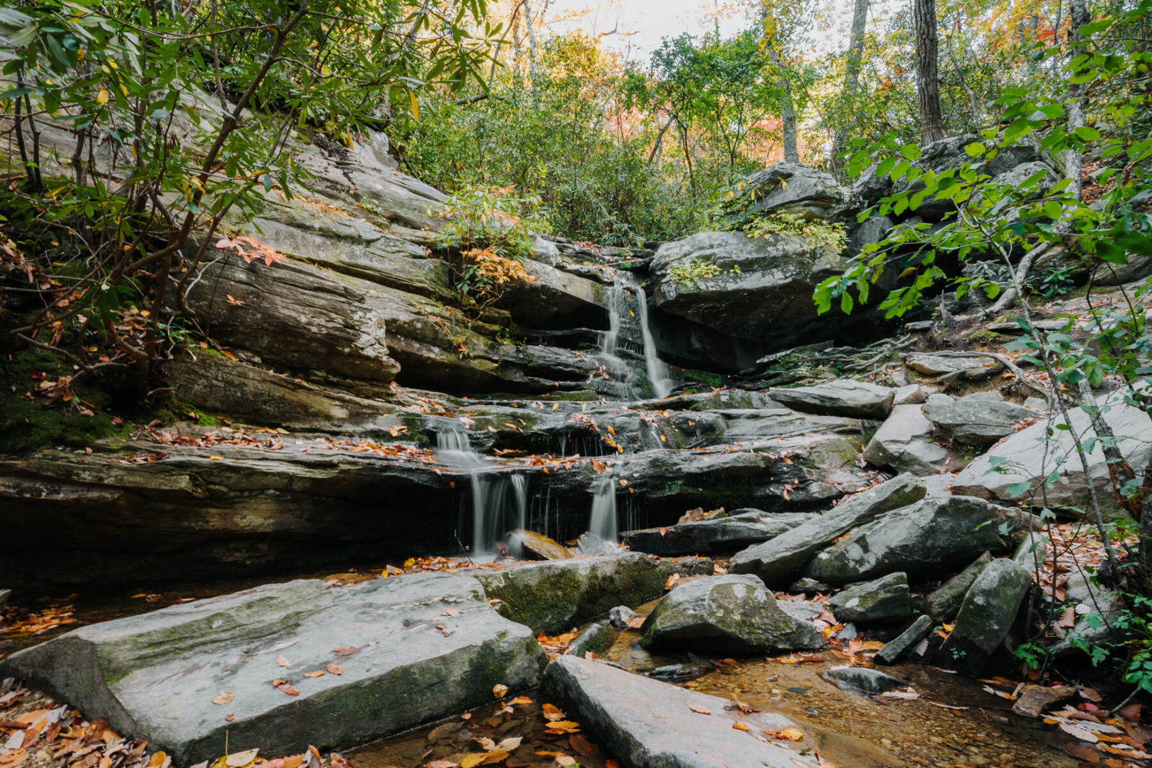
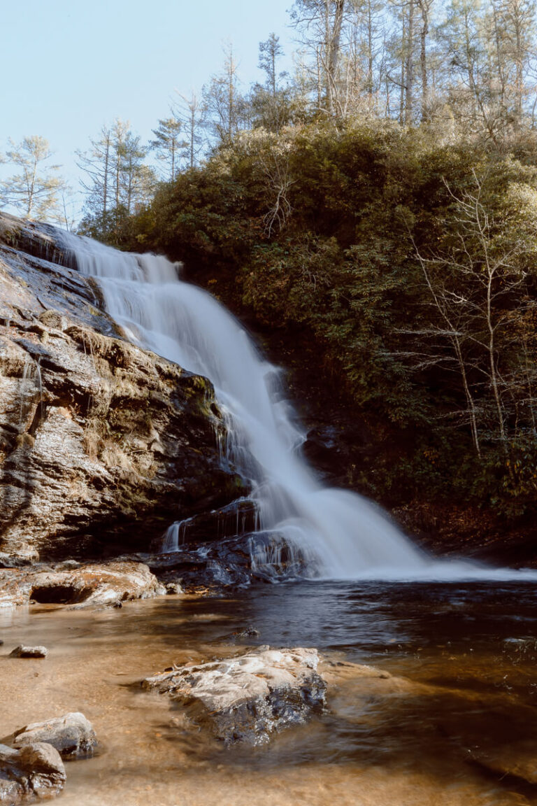
You can knockout two waterfalls with one trail by taking the Indian Creek Trail located at the far end of the Visitor’s Center parking lot. After walking downhill for about 10 minutes, you’ll see signs on your right for Hidden Falls (shown above). After viewing Hidden Falls, return to the trail and keep going to see Window Falls.
If you’re up for a longer hike, you can hike the entire Indian Creek Trail instead of just stopping by the waterfalls. The hike is 7.3 miles out and back and is rated moderate.
Upper Cascades Trail
- Difficulty: Easy
- Length: 0.8mi out & back
- Elevation gain: 95ft
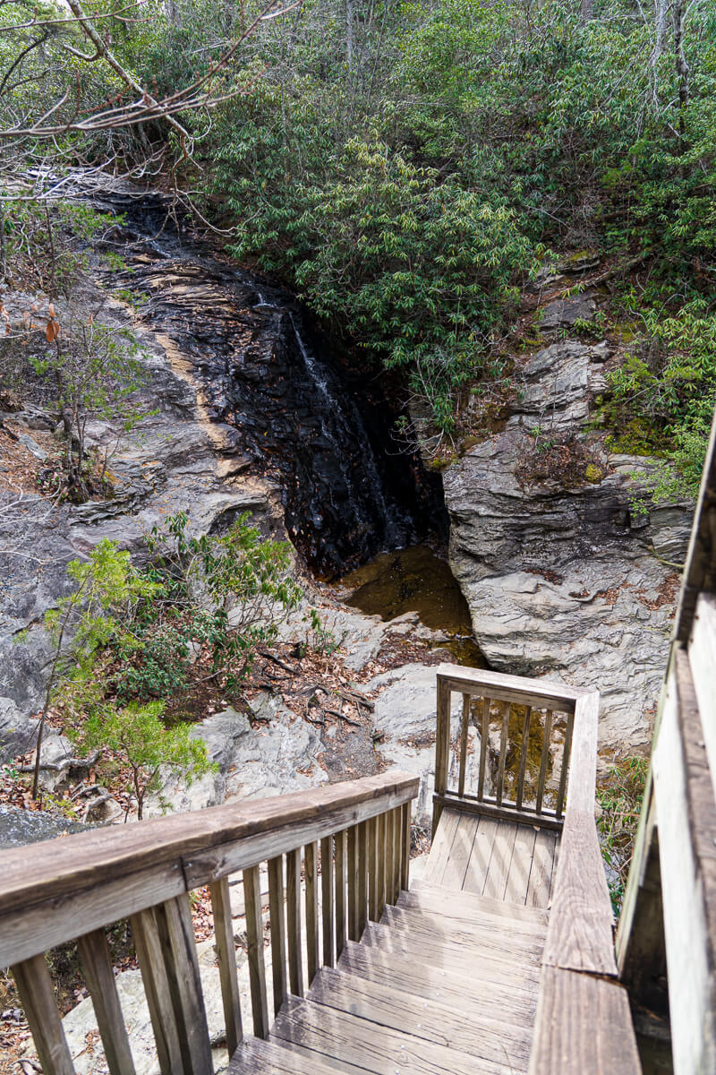
The most convenient place to park to access the trailhead for Upper Cascades Falls is the Visitor’s Center parking area. A brief walk will take you down to the falls, which you can view from the upper viewing platform or take the stairs down for a closer look.
The waterflow wasn’t great when I went, so I can imagine that this one might be a bit more impressive after a big rain. Nonetheless, I think the quick hike is worth it!
Lower Cascades Trail
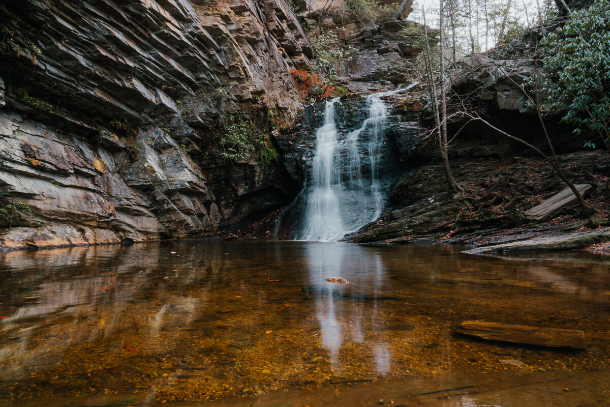
- Difficulty: Easy
- Length: 0.7mi out & back
- Elevation gain: 91ft
Lower Cascades Falls is my favorite waterfall at Hanging Rock State Park. It can be a little tricky to find since it’s secluded from many of the other trails, so make sure to know where you’re going in advance (service can be spotty in this area)!
Unlike most of the other parking lots at Hanging Rock State Park, the parking area at the trailhead of Lower Cascades Falls is very small. Therefore, I recommend starting your day here and then moving onto other hikes.
Have you ever been to Hanging Rock State Park? I’ve been countless times, but still feel like there’s so much more I could explore! Camping at Hanging Rock State Park is something I’ve been meaning to cross of my list for some time now, so it’s on my to-do list for 2022.


I enjoy Hanging Rock too. I’d also recommend the Cooks Wall Trail as well. Several spots to view the land below. Get to the end and your rewarded with a view of Sauratown Mt. and Pilot Mt..
Thanks, Tom! Cooks Wall is on my to-do list!
This Moore’s Wall Loop Trail guide is incredibly helpful. You’ve really thought through everything you need to know before planning a trip. Thank you for this helpful resource. Saving this guide for later!