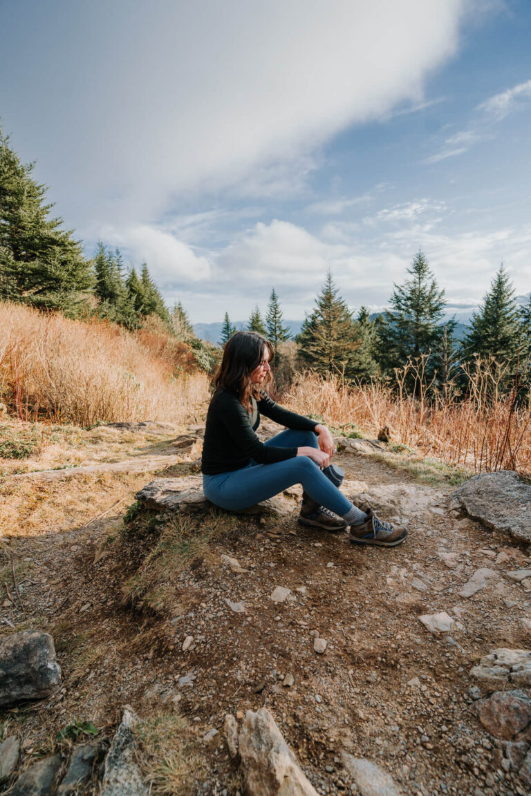
Hiking Guide: Catawba Falls Trail in Old Fort, NC
April 2022 update: Catawba Falls will be closed from May 2, 2022 through the spring of 2023 for improvements and updates. Visit the USDA website to learn more.
Catawba Falls is my favorite waterfall east of Asheville. If you’ve been following me for awhile, then you’re well aware I’m a bit of a waterfall fanatic.
I distinctly remember hiking Catawba Falls Trail for the first time and thinking, “Wow… this exists in NC?!” I’ve been to many more NC waterfalls since then, but Catawba Falls will always hold a special place in my heart because it’s where my obsession began!
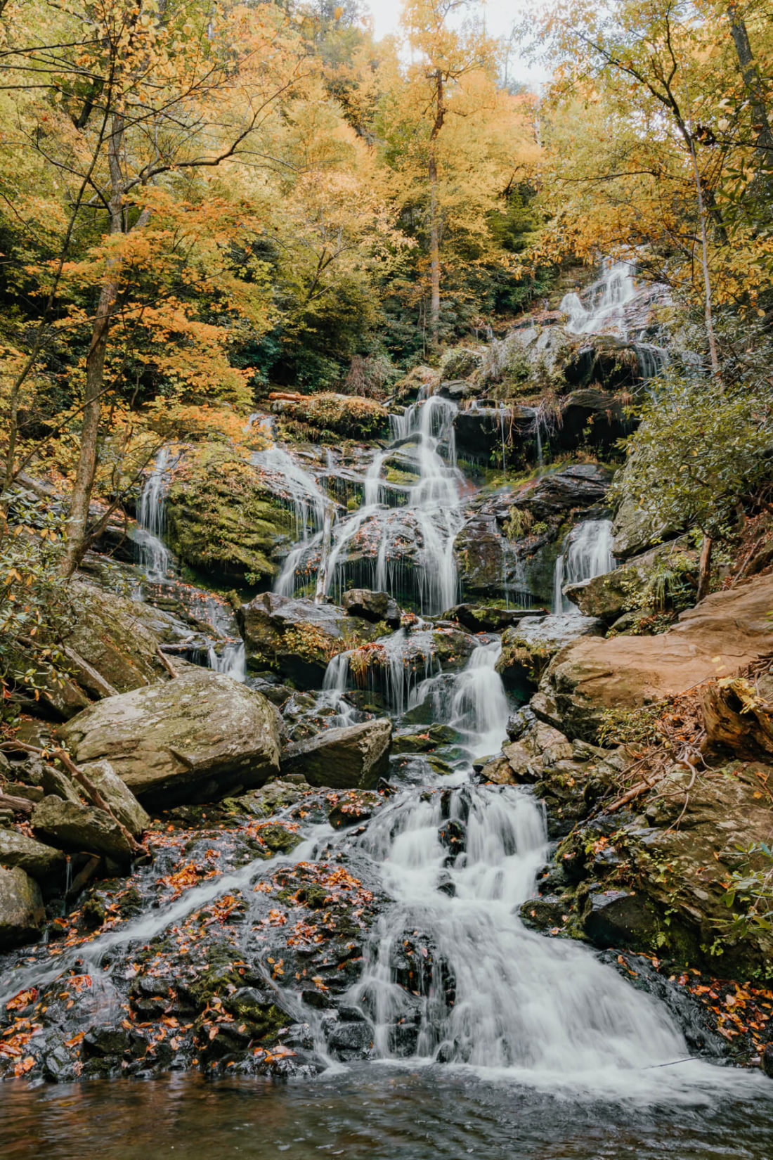
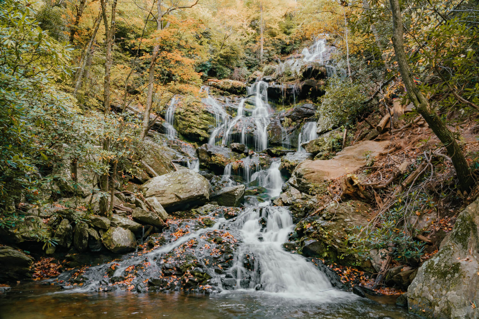
This stunning 100ft waterfall is located just 30 minutes outside of Asheville within Pisgah National Forest. I’ve done the Catawba Falls hike numerous times, and it keeps drawing me back! Something about the cascading, mossy waterfall gives me a rush of dopamine.
In this guide, I’ll be sharing everything you need to know about Catawba Falls from the parking situation to what to expect on the trail.
Disclaimer: This blog contains affiliate links which means I earn a small percentage of every purchase at no cost to you. I appreciate your support!
Hiking the Catawba Falls Trail in Old Fort, NC
Please remember to Leave No Trace when recreating outdoors so we can enjoy gems like this one for years to come! Also, don’t forget to carry the Ten Essentials on your hike. Click here to see my full list of hiking essentials.
I encourage you to “leave it better than you found it” as well — pick up trash if you see any and skip on single-use items that produce unnecessary waste.
Parking
Catawba Falls Trail address: 3074 Catawba River Rd, Old Fort, NC 28762 (Get directions)
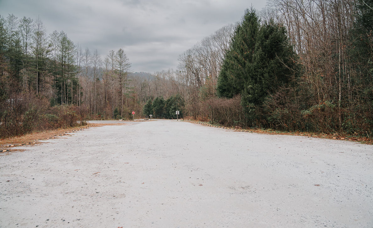
One of the reasons this waterfall is so popular is its proximity to I-40. You only have to drive for about ten minutes or so after getting off the interstate to get to Catawba Falls Trail. The parking lot is located at the end of Catawba River Road. You’ll pass the Catawba Falls Campground on your left when you’re getting close!
I’ve done a lot of hiking in NC, and this parking lot is huge in comparison to most. The photo above only shows one side, but there’s additional parking to the left. I’ve seen the parking lot both empty and full. Timing is the key to getting a waterfall like this (mostly) to yourself!
There are restrooms at the trailhead. They’re fairly clean, but I prefer to stop at the McDonald’s on Bat Cave Road. This also might be because I am addicted to their mocha frappes, but that’s beside the point.
[mailerlite_form form_id=2]When to Visit Catawba Falls
Since this is a heavily trafficked trail, I recommend going early and on a weekday if you can! Although, even weekdays can be crowded (especially during fall I’ve found).
In terms of seasons, I don’t really think you can go wrong. Catawba Falls is surrounded by trees, which is a spectacular sight to see in spring, summer, and fall.
Don’t write off a winter adventure, though! Catawba Falls is one of my favorite spots for winter hiking due to the ease of accessibility! The fact that it tends to be much less crowded during winter is an added bonus.
Catawba Falls Trail Details
Quick Overview
- Difficulty: Moderate
- Length: 2.3mi out & back
- Catawba Falls hike time: 1-2 hours
I want to reiterate that this is a heavily trafficked trail (so don’t go on a Saturday afternoon during summertime expecting peace and solitude). Nonetheless, I’ve done this hike numerous times and the views are worth it even when it’s busy!
Please note that I am referring to Lower Catawba Falls throughout this blog post. You might’ve heard of Upper Catawba Falls, but there is no safe way to access the upper falls at this time. Therefore, emergency management officials strongly discourage any attempts to reach the the upper falls.
The trailhead is located at the back righthand corner of the parking lot.
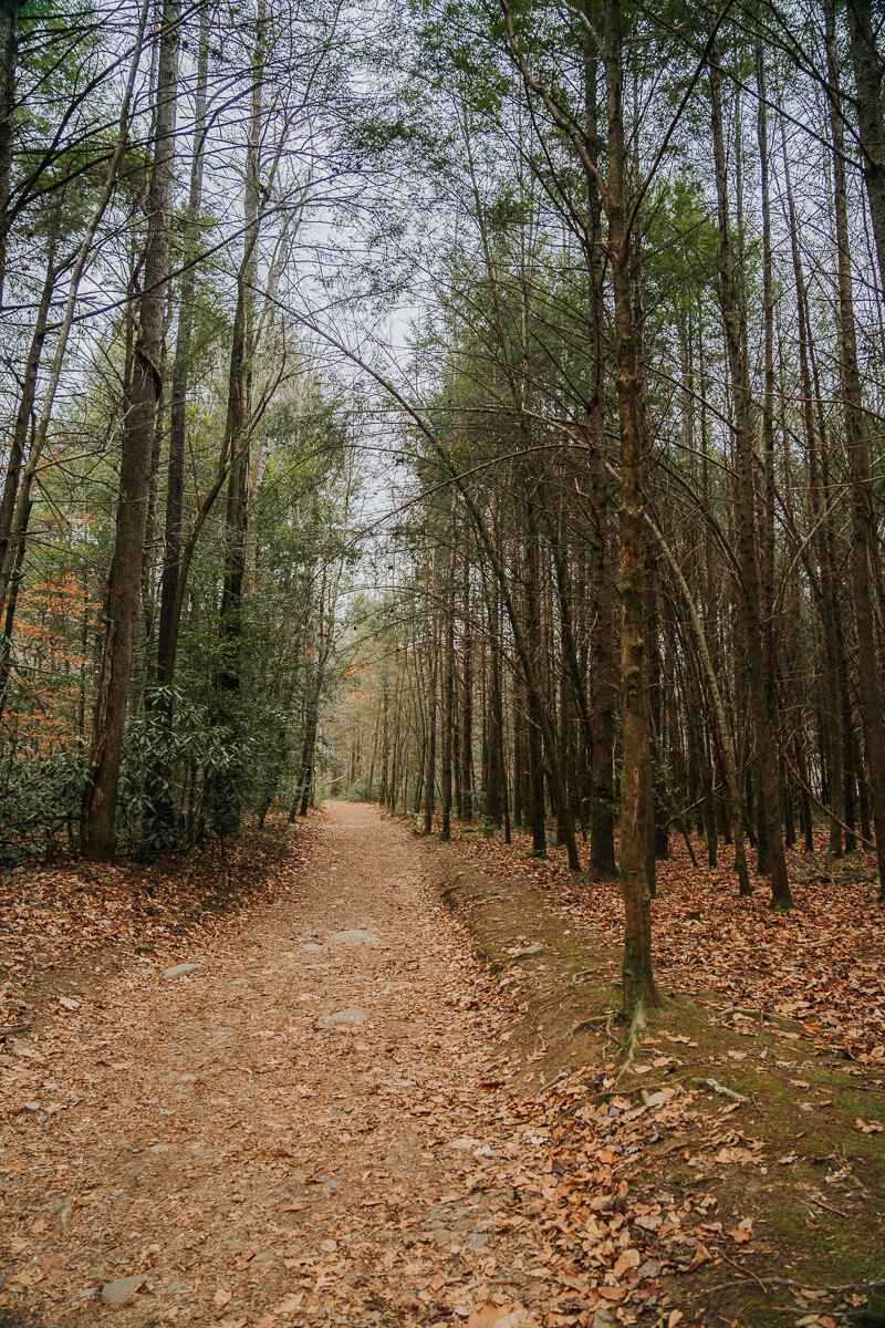
Once you get on the trail, you’ll find that it’s wide and very easy to follow. One of my favorite things about this hike is the fact that it runs along the Catawba River. The sound of the rushing water adds an extra element of peacefulness.
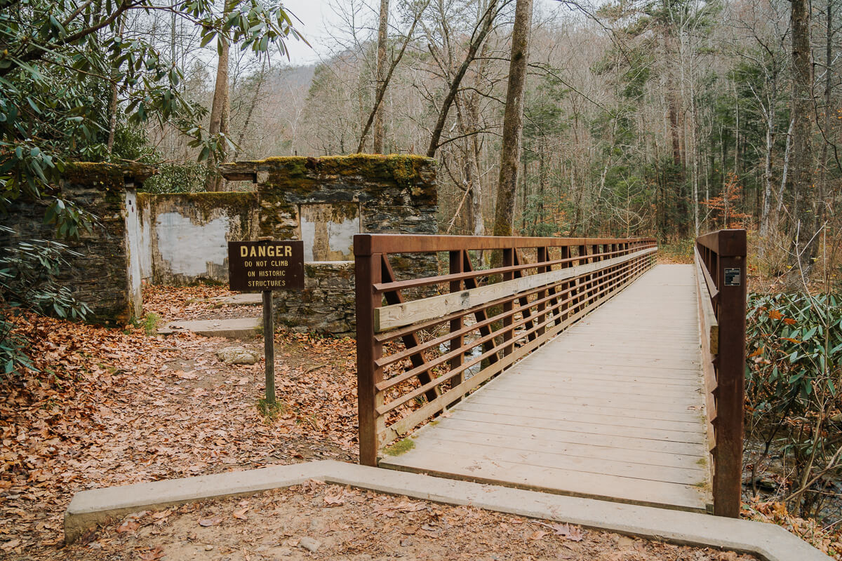
After about 10 minutes of walking through the forest, you’ll reach the first bridge. Adjacent to the bridge is remnants of the old hydroelectric dam that used to provide power to the town of Old Fort, NC.
Also Read: 25 Stunning Waterfalls in North Carolina
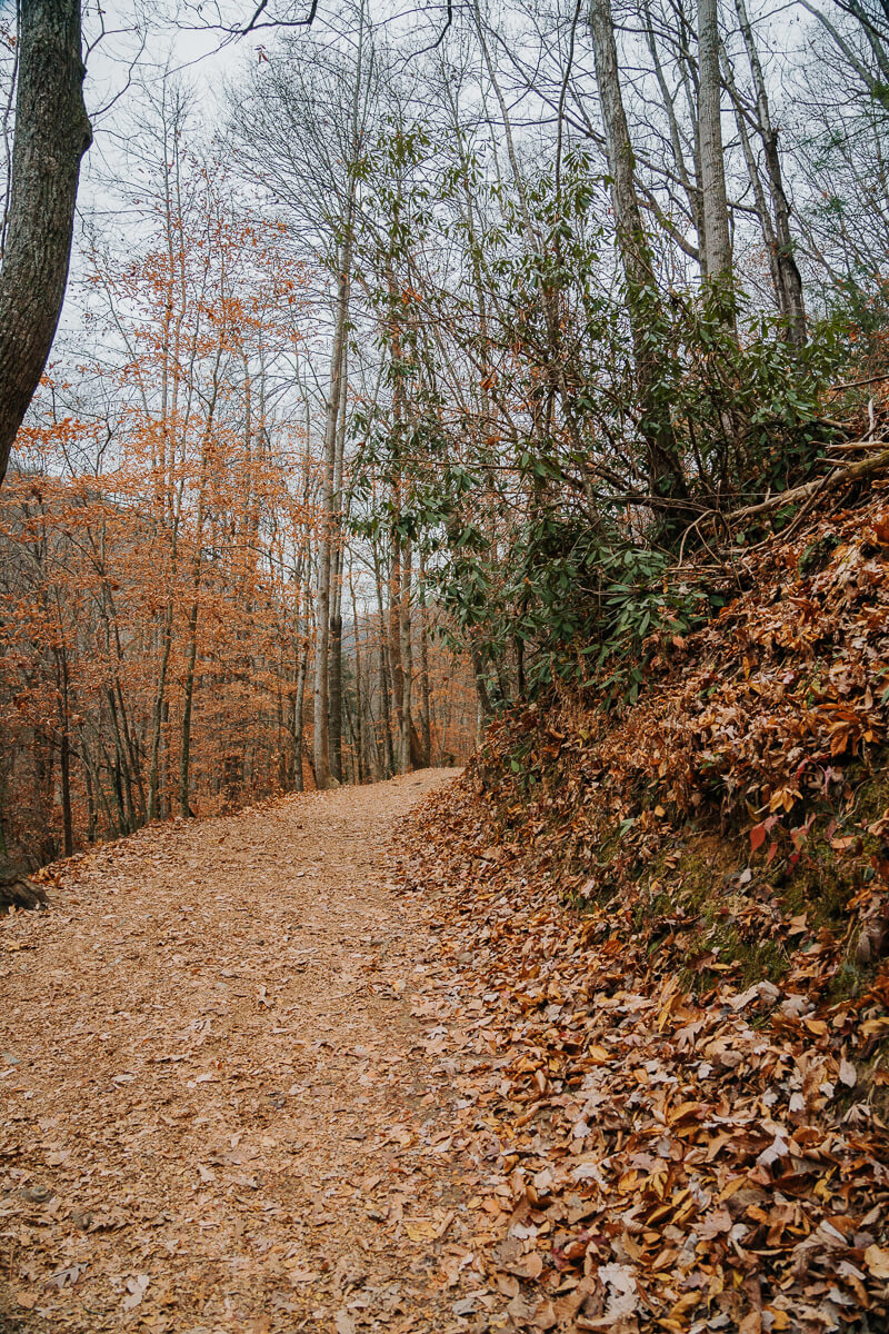
You’ll continue walking through the forest after taking the bridge across the Catawba River. While there is a decent amount of elevation gain (around 350ft), the hike stays gradual throughout.
I’ve seen people of all ages on this trail and would most definitely consider this a kid-friendly adventure. The bridges and creek crossing add some fun elements to the hike, which I think younger kids will appreciate!
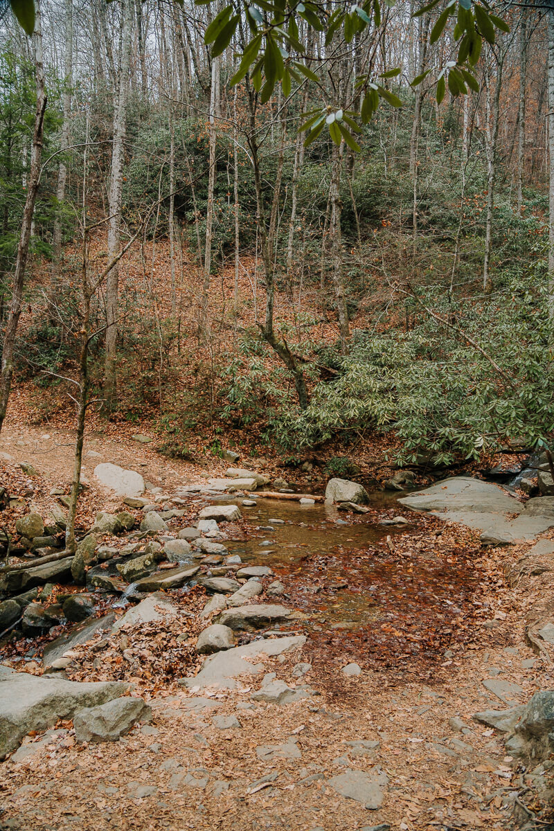
Approximately 15-20 minutes into the Catawba Falls Trail, you’ll reach a small creek crossing. I’ve done this hike during every season and have always been able to rock hop across the creek. Even then, waterproof hiking boots are always a good idea in case of a misstep.
I recommend taking water shoes if you plan to do this hike during spring or summer and want to wade in the river (there are a few points where the river is accessible along the hike) or at the base of the waterfall. Make sure to pack a small towel as well! I always carry this microfiber towel in my day pack.
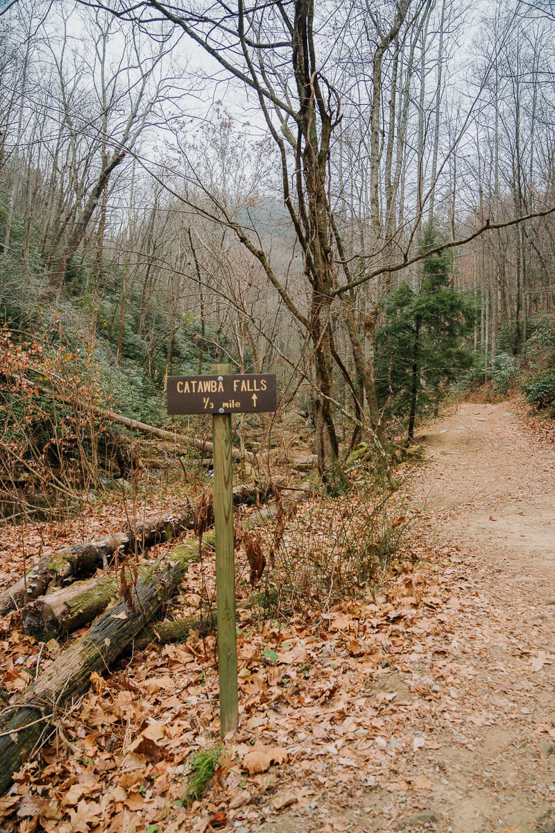
Shortly after crossing the creek, you’ll come across a sign that indicates you’re 1/3 of a mile from the waterfall.
Also Read: How to Spend a Weekend in Asheville, NC
You’ll encounter a second bridge approximately 10 minutes after crossing the creek. Once you cross the second bridge, you’re almost there!
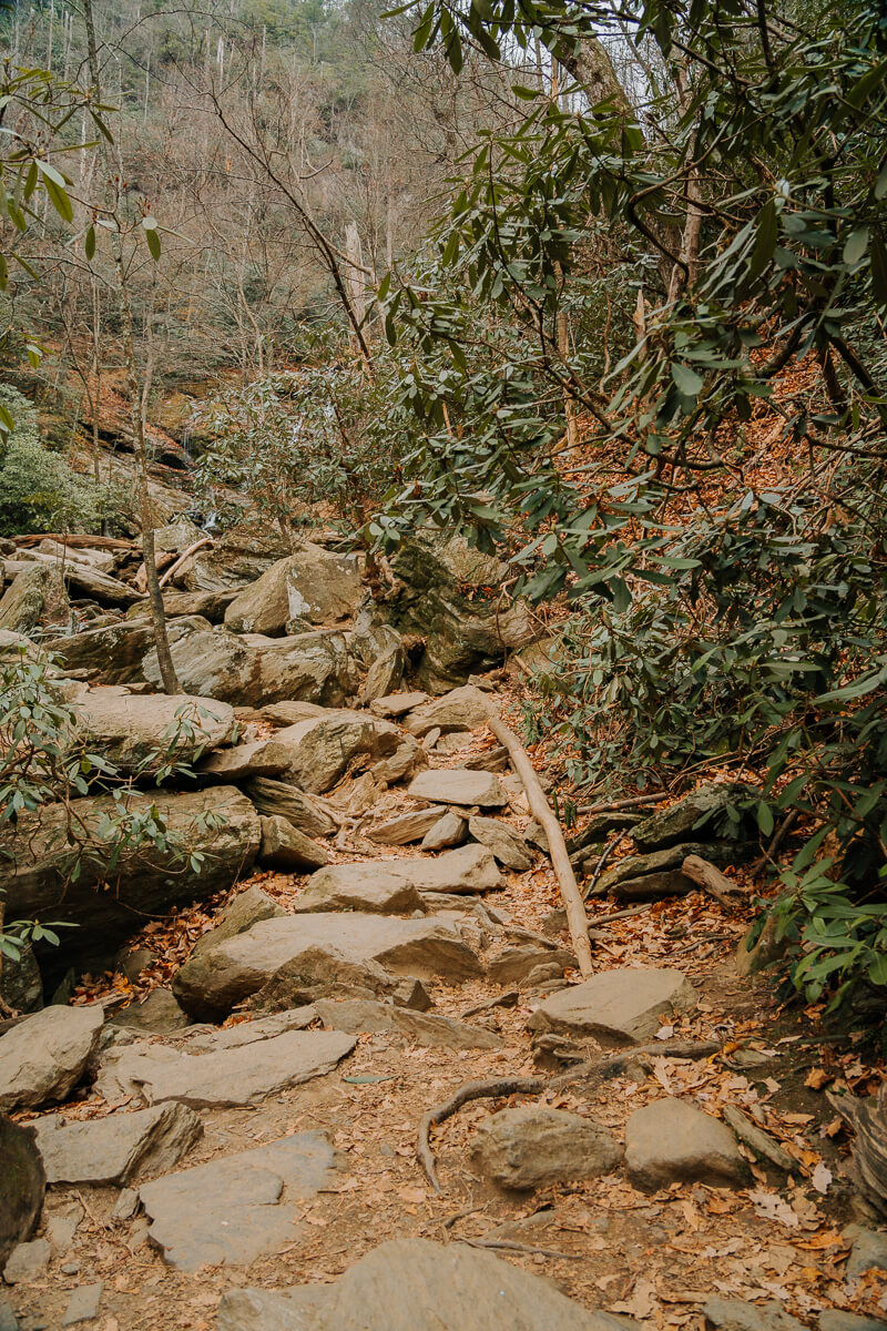
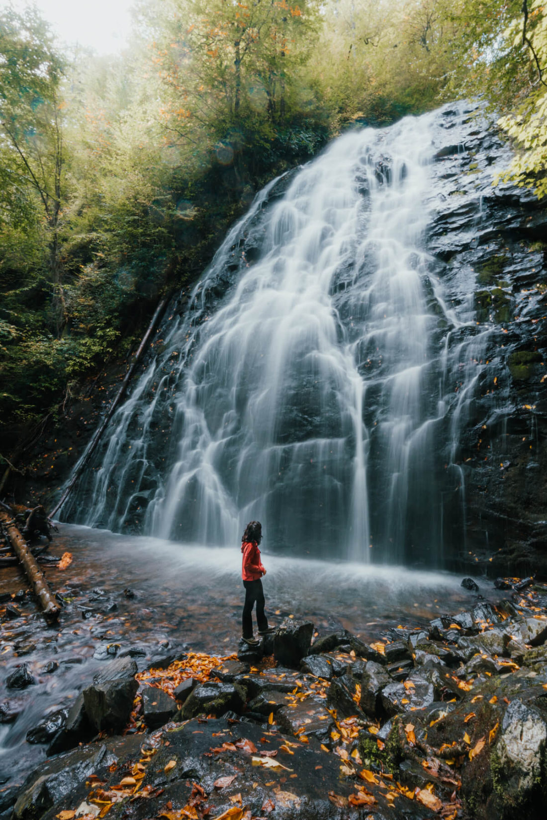
A brief five minute walk after crossing the second bridge and heading up some stairs will land you at the base of Lower Catawba Falls. The water isn’t deep enough for swimming, but you can certainly get your toes wet!
Again, emergency officials strongly discourage anyone from attempting to reach Upper Catawba Falls as there is no safe way to get there. Please be considerate of not only your safety, but the safety of others as well. Lower Catawba Falls has plenty of beauty to enjoy!
Other Hikes to Consider
I wanted to include a few additional suggestions in case you need a few more trails to add to your list! You can get to each of these hikes from Catawba Falls in an hour or less.
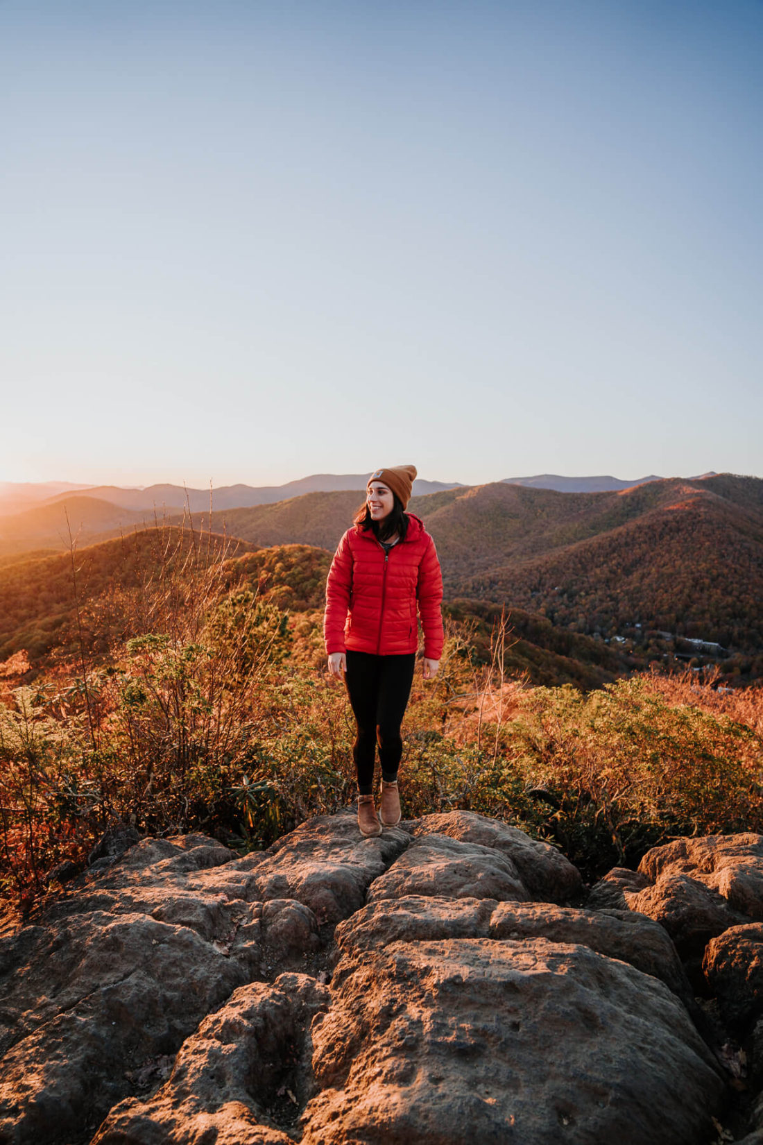
Lookout Mountain
- Difficulty: Moderate
- Length: 1.5mi out & back
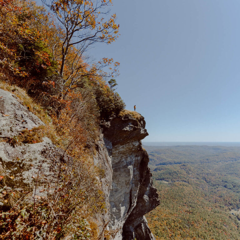
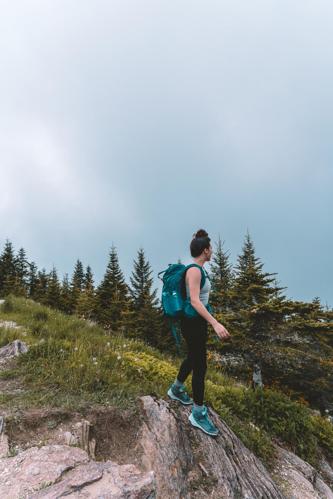
Lookout Mountain is another one of my favorite hikes east of Asheville, particularly for sunset (just remember to pack a headlamp as it gets dark in heavily wooded areas faster than you might think)! This trail is actually located within a small college town called Montreat, which isn’t too far from Black Mountain.
There isn’t much parking available at the trailhead. Check AllTrails for other hikes in the area if you’re unable to find a spot and need a backup plan. Catawba Falls is less than 30 minutes away, so that would be a good alternative!
Crabtree Falls
- Difficulty: Moderate
- Length: 2.6mi loop
It is true that Catawba Falls will always hold a special place in my heart, but Crabtree Falls currently ranks as my all-time-favorite waterfall in North Carolina. Located on the Blue Ridge Parkway at milepost 339.5, it’s is a very convenient stop if you’re cruising along the parkway!
What’s so special about it? I tend to love waterfalls nestled deep within the forest because they feel more secluded. I also think the height (70ft) combined with the cascading effect give this waterfall a major wow factor! And I’m always a fan of being able to walk right up to the base of a waterfall so that you can truly appreciate it in all its glory.
Mount Mitchell
- Difficulty: Hard
- Length: 11.9mi out & back
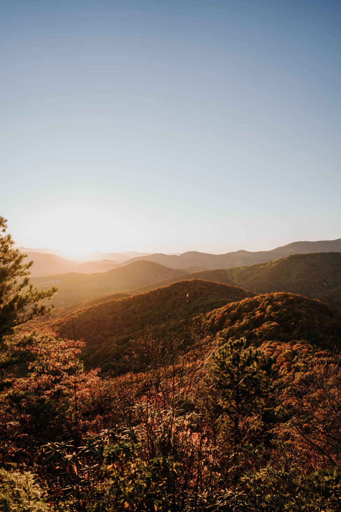
If you have some time in the area and are up for a challenge, hike to the top of Mount Mitchell from the Black Mountain Campground. The 360-degree mountain views at the top of Mount Mitchell make all 3,600ft of elevation gain worth it. Plus, you get to say that you conquered the tallest peak east of the Mississippi!
Alternatively, you can drive to the top of Mount Mitchell and land in the exact same spot as someone who just trekked 6 miles straight uphill 😉 I recommend visiting for sunset if you drive!
Have you ever been to Catawba Falls or any of the nearby hikes I mentioned? I am constantly blown away by how many gems exist in Western North Carolina!